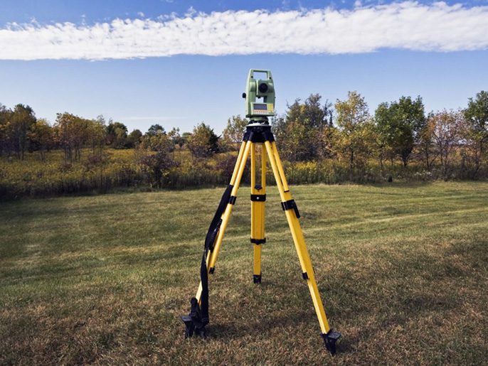
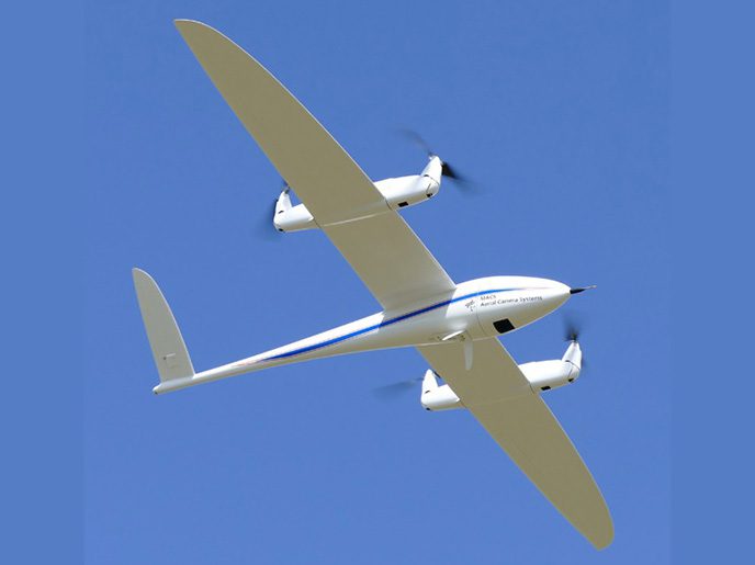
SkyMap is a leading geospatial solutions provider in Saudi Arabia, delivering high-precision aerial survey, UAV survey, and remote sensing services for large-scale infrastructure and environmental projects. Utilizing over 35 years of industry experience, SkyMap combines high-resolution satellite imagery, airborne photogrammetry, and advanced LiDAR survey technologies to acquire accurate spatial data. These spatial data management solutions empower public and private sector clients across defense, agriculture, transportation, and engineering to execute data-driven decision-making.
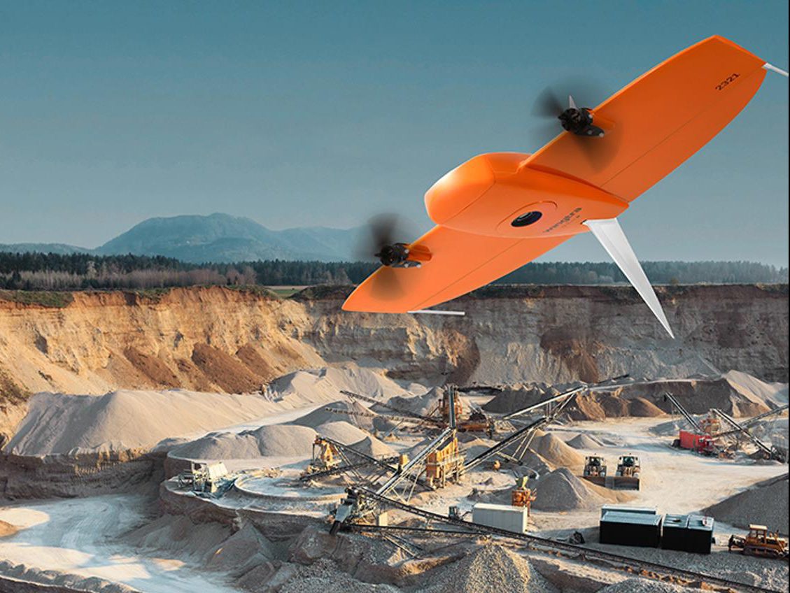
Drone & UAV Survey
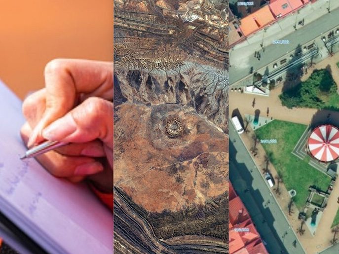
Satellite & LiDAR Imagery
Mobile & Bathymetric Mapping
3D City Modelling
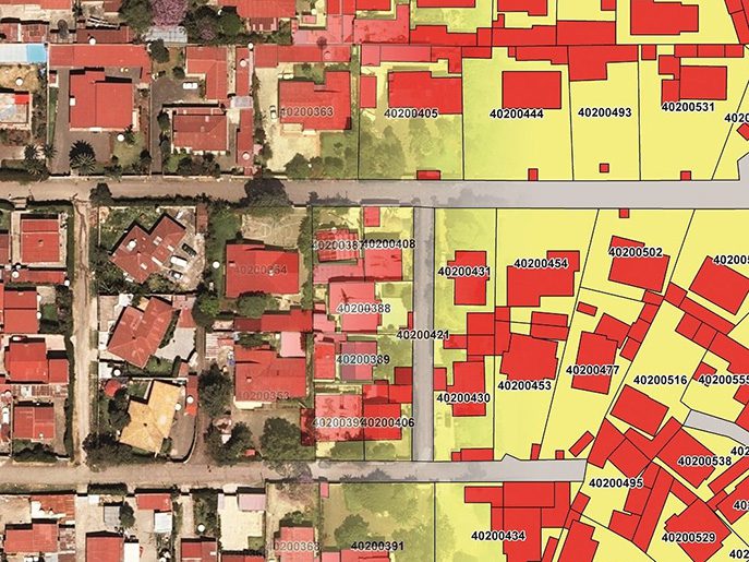
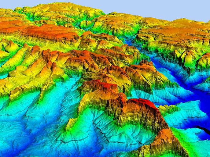
Beyond conventional mapping, SkyMap offers specialized mobile mapping, bathymetric mapping, and 3D city modeling capabilities tailored for complex urban and marine environments. By integrating enterprise GIS services with rapid aerial data processing, SkyMap enables seamless monitoring, terrain analysis, and asset tracking. Whether mapping vast rural topographies or generating high-density urban elevation models, SkyMap delivers end-to-end geospatial intelligence across Saudi Arabia and the GCC.